
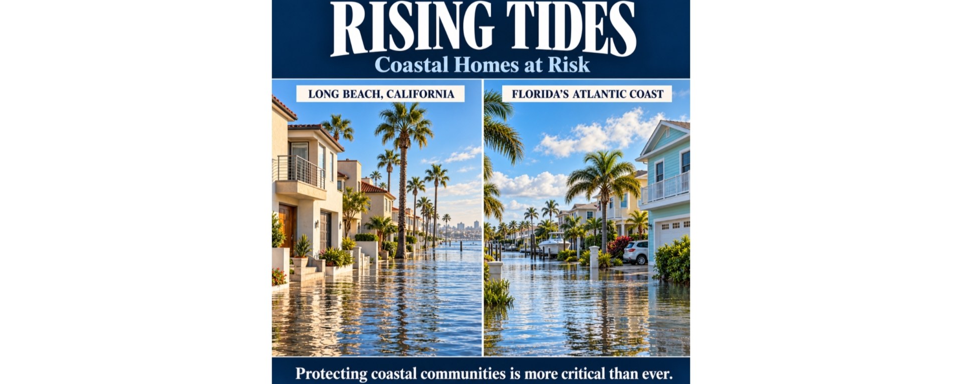
Record-setting coastal water levels are flooding streets and threatening low-lying neighborhoods on both sides of the United States this week. From Southern California to South Florida, a combination of strong astronomical tides, unusual ocean conditions and coastal weather is pushing water inland—all on top of a higher baseline caused by rising sea levels. Los Angeles Harbor set a new high-water record on October 26, while Miami has experienced repeated record readings in recent days.
The records need careful interpretation. A monthly record, a station’s highest non-hurricane reading and an all-time water-level record are different measurements. These events do not mean every community along both coasts is experiencing its highest tide ever.
On the West Coast, El Niño adds extra water
Along California’s coast, unusually warm ocean water and an El Niño-related rise in sea level are helping tides reach exceptional heights. NOAA explains that weakened Pacific trade winds allow Kelvin waves to travel eastward along the equator and then along the American coastline. These broad ocean disturbances can raise coastal sea levels for months, giving each incoming tide a higher starting point.
That extra height can turn an otherwise manageable high tide into flooding. In San Francisco, water reached parts of the Embarcadero during sunny weather on October 26, setting another October high-water record. The flooding illustrated how elevated ocean levels can affect waterfronts even without a major storm overhead.
On the East Coast, winds amplify seasonal tides
South Florida is experiencing a different combination of forces. Its highest predicted tide of the year coincided with a coastal weather system driving water toward shore. Flooding spread through areas of Miami Beach and Fort Lauderdale, disrupting traffic and reaching businesses.
According to reporting by the Miami Herald, Miami’s Virginia Key gauge recorded its highest water level outside a hurricane since measurements began there in 1994. Hurricane Irma’s 2017 peak remained higher. That distinction matters: this was an extraordinary non-hurricane event, rather than a new record exceeding every previous storm.
Farther north along the Atlantic coast, persistent easterly and northeasterly winds can pile water against the shoreline. NOAA identifies coastal storms and onshore winds as major contributors to flooding in the Northeast and Mid-Atlantic.
Why high tides are becoming more damaging
The moon and sun create predictable tidal cycles. Around full and new moons, their gravitational effects combine to produce larger tidal ranges. The highest seasonal tides are commonly called “king tides.” South Florida water managers identified October 27 as the expected peak of the region’s 2026 astronomical tides months in advance. Weather and ocean conditions then added water beyond those predictions.
Climate change raises the underlying ocean level as warming seawater expands and melting land ice adds water. Sinking land worsens the problem in some communities. Consequently, tides and storms can reach roads, drainage systems and buildings more easily than they once did. NOAA identifies rising seas, land subsidence and the loss of natural barriers as contributors to increasingly common high-tide flooding.
This week’s flooding reflects several forces arriving together. Astronomical tides determine the timing, weather and ocean patterns increase the height, and long-term sea-level rise makes coastal communities more vulnerable when the water arrives.
Flood protection becomes more critical
As high tides reach farther inland, protecting coastal communities is becoming increasingly critical. Improved drainage, flood barriers, elevated roads, growing tree canopy and utilities, and restored wetlands can help reduce damage and keep essential services operating. Communities also need to account for rising seas when planning new development and upgrading aging infrastructure. Investing in protection now can help limit future losses and disruptions as coastal flooding becomes more frequent.

