
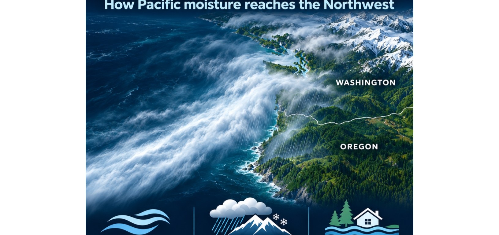
The first rain in a series of Pacific storms is reaching the Washington coast today, and forecasters are watching for a stronger system later this weekend. Early next week, a possible atmospheric river could bring another round of heavy rain to parts of the West Coast. For Surfside and the Long Beach Peninsula, the forecast brings back a lesson from December 2025: when storms arrive close together, the ground and waterways have less time to recover between them.
What’s ahead for the Washington coast
The National Weather Service’s November 4 forecast calls for an active pattern through the rest of the week, with a stronger system expected later in the November 7–8 weekend. NOAA’s Weather Prediction Center is watching for an atmospheric river approaching the West Coast early next week. Farther out, NOAA’s Climate Prediction Center flagged November 11–15 for a moderate risk of heavy precipitation and possible flooding across parts of the Pacific Northwest and northern and central California. It also flagged a moderate risk of high winds along parts of the immediate West Coast. The timing, the location of the heaviest rain and the potential for
An atmospheric river is a long, narrow band of concentrated water vapor. When moist air rises over coastal hills and mountains, it cools and can release substantial rain or snow. A slow-moving band can keep rain falling over the same watershed for hours. If streams are already high and soils are saturated, the next round of rain can produce more runoff and faster rises.
What El Niño changes this winter
NOAA’s October 8 update reported that El Niño was strengthening and put the odds of a strong to very strong event above 83 percent through January–March 2027. El Niño, a warming of the central and eastern equatorial Pacific, can shift the Pacific jet stream and change where winter storms tend to travel. NOAA’s November–January outlook favors above-normal temperatures across the Pacific Northwest. Its precipitation outlook favors wetter conditions along much of the West Coast as far north as coastal Oregon, with less certainty about seasonal rainfall on the Washington coast.
A seasonal outlook describes the odds over several months. A single storm can bring damaging rain even in a season that finishes near or below average. For the peninsula, the immediate questions are where the next storm aims its moisture, how long the rain lasts and how wet the ground is when it arrives.
What happened last December
On December 10, 2025, Gov. Bob Ferguson declared a statewide emergency following major flooding. The state’s storm timeline describes multiple atmospheric rivers, with waterways already elevated when more heavy rain arrived. A subsequent state proclamation listed Pacific County among the hardest-hit counties during the broader December storm period, which brought flooding, saturated soils, landslides and fallen trees across Washington.
That sequence matters on the Long Beach Peninsula, where residents may first notice trouble as standing water on a road or in a yard. Around Seabreeze Lake and Surfside’s canals, the practical question is how much room the land and drainage system have to hold and move water before the next round arrives.
How trees help slow runoff
Leaves, needles, and branches catch some rain before it reaches the ground. Beneath the canopy, roots help maintain openings in the soil through which water can infiltrate. Vegetated ground also slows surface flow, and roots help hold soil in place. Together, healthy trees and the soil beneath them can delay runoff and reduce the amount that reaches ditches, canals, and lakes. That makes mature trees and vegetated buffers essential alongside culverts, ditches and other drainage infrastructure when Surfside evaluates how to manage stormwater.
During a prolonged downpour, canopies get wet and even well-vegetated soils can saturate. Flood protection also depends on functioning drainage, room for water to collect safely and local conditions such as water levels at drainage outlets. In Surfside, reviewing proposals to remove healthy trees near waterways alongside drainage maps would help identify where canopy and permeable ground are already doing part of that work. Replanting can rebuild those benefits over time, as roots spread and canopies grow.
For the coming storms, check the latest local forecast before traveling, pay attention to flood and wind alerts, and turn around if water covers the road. As the forecast sharpens, watch for changes in both the timing of the heaviest rain and the gap between storms.
Sources
National Weather Service Portland
https://marine.weather.gov/product.php?issuedby=PQR&product=AFD&site=HGX
NOAA Weather Prediction Center
https://www.wpc.ncep.noaa.gov/discussions/pmdepd.html
NOAA Climate Prediction Center hazards outlook
https://cpc-qa-bldr.ncep.noaa.gov/cpc_key_messages/CPC-Key-Message-1.html
NOAA explainer on atmospheric rivers
https://www.noaa.gov/stories/what-are-atmospheric-rivers
Washington’s December 2025 storm timeline
https://governor.wa.gov/sites/default/files/2026-02/WA_PA%20Major%20Disaster%20Declaration-December%202025%20Winter%20Storms%20with%20Enclosures.pdf
NOAA El Niño advisory
https://www.cpc.ncep.noaa.gov/products/analysis_monitoring/enso_advisory/ensodisc.html
NOAA seasonal outlook
https://cpc.ncep.noaa.gov/products/predictions/90day/fxus05.html
December 10 emergency announcement
https://content.govdelivery.com/accounts/WAGOV/bulletins/3ff4564
State emergency proclamation
https://governor.wa.gov/sites/default/files/proclamations/25-07.1%20-%20Atmospheric%20River%20%28tmp%29.pdf
EPA guide to trees and stormwater
https://www.epa.gov/sites/default/files/2015-11/documents/stormwater2streettrees.pdf
National Weather Service Portland forecasts and alerts
https://www.weather.gov/portland/

