
Winter 2026 to 2027
November 5, 2026
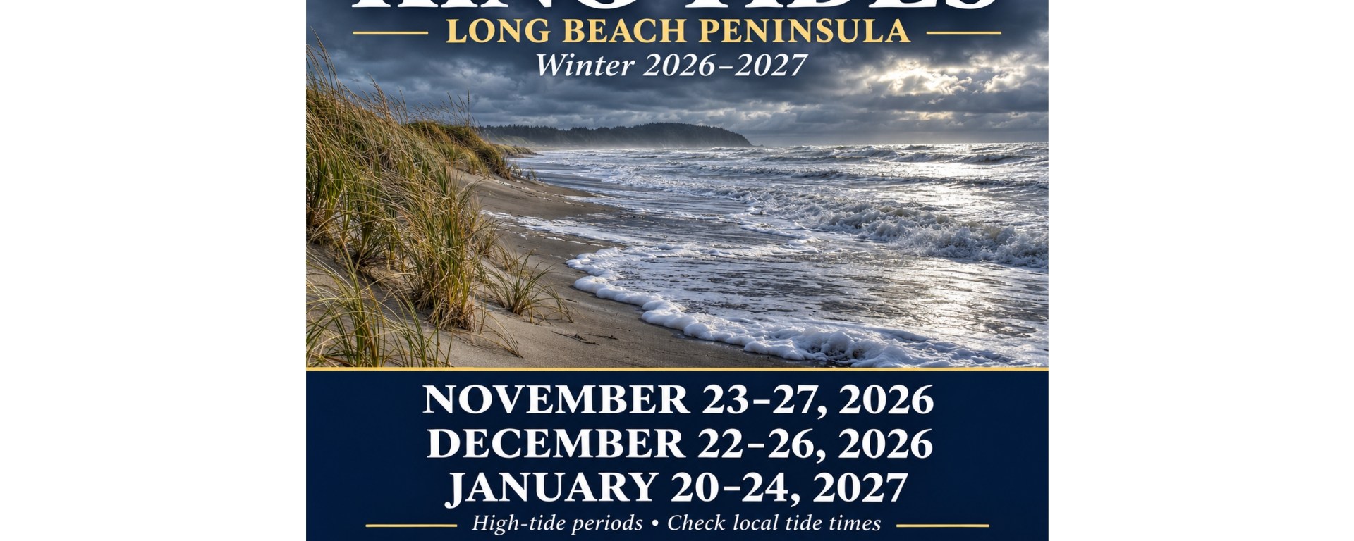
Residents and visitors on Washington’s Long Beach Peninsula should mark three upcoming high-tide periods: November 23–27, 2026; December 22–26, 2026; and January 20–24, 2027. Washington Sea Grant lists these dates for both Ilwaco and Toke Point in its winter king tide calendar.
These unusually high tides offer an opportunity to observe the shoreline—and a reason to pay close attention to winter weather.
Key dates and peak tides
The table shows the highest predicted tide within each of the three periods at Ilwaco. Times are local Pacific Standard Time.
High-tide period
Ilwaco peak date
High tide
Predicted height
November 23–27, 2026
November 25
12:38 p.m.
9.61 feet
December 22–26, 2026
December 24
12:27 p.m.
9.82 feet
January 20–24, 2027
January 22
12:24 p.m.
9.61 feet
Source: Washington Sea Grant. Heights are above mean lower low water, a tidal reference level; they are not flood depths.
For Willapa Bay, Toke Point’s corresponding peaks are November 25 at 12:32 p.m. (11.02 feet), December 24 at 12:20 p.m. (11.26 feet), and January 22 at 12:16 p.m. (11.10 feet).
Use the prediction for your specific location. Ilwaco is in Baker Bay, and Toke Point is on Willapa Bay. Neither table supplies exact ocean-beach times for Long Beach, Ocean Park or Surfside. Check NOAA’s location-specific predictions before heading out.
What makes a king tide
“King tide” is an informal name for an exceptionally high tide. The gravitational effects of the moon and sun create predictable variations in water levels, with particularly high tides occurring during certain alignments and orbital conditions.
A king tide does not require a storm. However, storm surge can raise water above the predicted astronomical tide. When high water coincides with strong winds, large surf and heavy coastal runoff, the potential for flooding and shoreline damage increases.
A date on the calendar therefore identifies a period to watch, not a forecast that flooding will occur.
Watch from a safe distance
For peninsula residents, the sensible approach is to plan around both the tide table and the weather forecast. Choose an elevated, established viewpoint where access remains safe. During hazardous surf, avoid the beach, jetties and exposed shoreline structures.
The National Weather Service warns that sneaker waves can suddenly surge much farther inland than preceding waves. Quiet intervals can create a false sense of security, and incoming water can lift heavy driftwood.
Keep children and pets well back, stay off logs, and keep an unobstructed route away from the water. Never turn your back on the ocean. Check beach hazard statements, high surf warnings and coastal flood alerts before leaving home.
A useful record for the future
Photographs taken safely from a fixed public viewpoint can help document how high water reaches familiar shorelines. Record the date, time, location and weather, and compare the scene with a photograph taken during an ordinary tide.
The Environmental Protection Agency notes that king tide photographs can help communities understand potential sea-level-rise impacts and identify vulnerable places. A single photograph cannot establish a long-term trend, but consistent observations can support public understanding and planning.
For this winter, put the three periods on the calendar—and check conditions again as each approaches.
Sources and local planning links
Washington Sea Grant king tide calendar
https://waseagrant.uw.edu/our-programs/coastal-hazards-climate-resilience/king-tides/king-tides-calendar/
NOAA Ilwaco tide predictions
https://tidesandcurrents.noaa.gov/noaatidepredictions.html?id=9440597
NOAA explanation of king tides
https://oceanservice.noaa.gov/facts/kingtide.html
NOAA explanation of storm surge
https://oceanservice.noaa.gov/facts/stormsurge-stormtide.html
National Weather Service sneaker wave safety
https://www.weather.gov/safety/sneaker-waves
National Weather Service Portland forecasts and alerts
https://www.weather.gov/pqr/
EPA coastal climate information
https://www.epa.gov/cre/climate-change-coastal-communities

